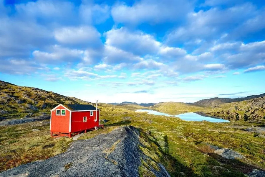
Pingu, Greenland
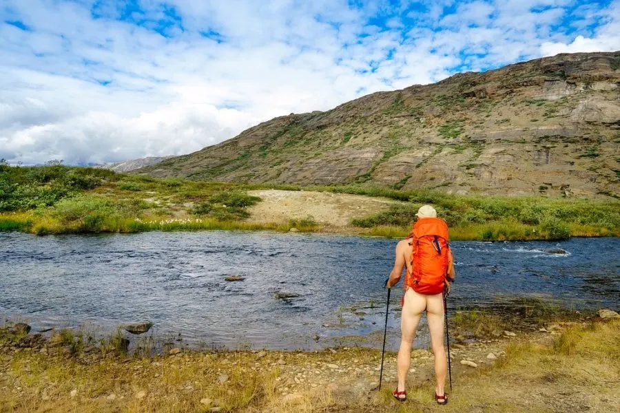
I remove my clothing and waterproof my gear in preparation for the deepest and most dangerous river crossing of the hike. It’s time to get wet!
ARCTIC CIRCLE TRAIL SERIES
PART 1 | PART 2 | PART 3 | PART 4 | PACKING/LOGISTICS
DAY 7: Ikkattooq to Eqalugaarniarfik (and beyond)
Hiking Distance 19 km (12 miles) | 8 hours
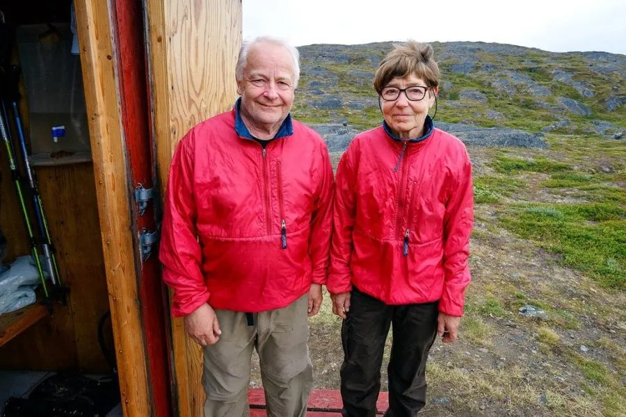
Before we get to the river, let me first tell you about an interesting Danish couple I met at the Ikkattooq cabin. We chatted for a few hours before night fell, hiding out from the storm overhead.
Fleming & Ellen have hiked the Arctic Circle Trail 6 times now.
They’re both 70 years old. And if that wasn’t enough to impress you, they’ve also trekked completely across Greenland over its vast ice cap! An astonishing feat that takes a month to accomplish pulling sleds full of food & gear.
These two have hiked to Everest Base Camp, climbed Mont Blanc (Europe’s highest mountain), and are frankly some bad-ass senior citizen adventurers. Plus, they didn’t even get into trekking until they were in their 40’s.
It’s never too late to try something new & challenging.
Greenland’s Mosquitos
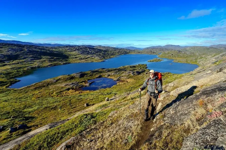
The next morning we part ways and I start to climb over a steep ridge in crisp 38 degree mountain air. From there the trail winds down into a huge valley. Descending to the river below is when the first mosquitos begin to attack.
Greenland has a big mosquito problem.
They breed in the many lakes & ponds scattered across the landscape, feeding on the reindeer population. But mosquitos are hatching earlier and earlier each year — which many scientists attribute to global warming.
When hiking the Arctic Circle Trail in June or July, these epic swarms are out in force. Wearing a mosquito headnet is essential for keeping your sanity.
By mid August most of them die off due to colder night temperatures. I still encountered small swarms over bogs & marshy areas of the trail. These little insects are a huge pain in the ass!
Naked River Crossing
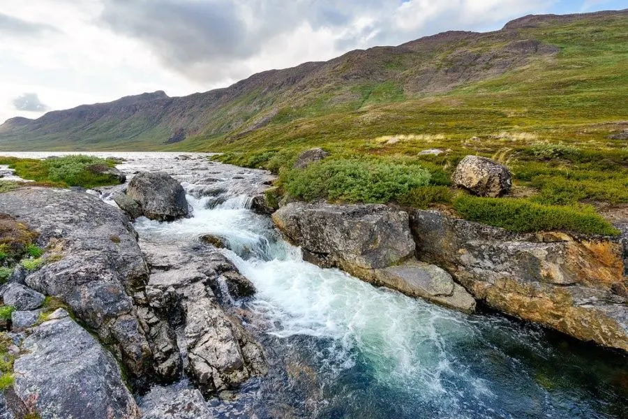
The valley surrounds Ole’s Lakseelv, the widest & deepest river on the Arctic Circle Trail. The local name for it is Itinneq. There are two ways to cross.
You can get wet and ford right through, or take a longer detour to a wooden bridge that was built nearby. In the early spring or after a lot of rain the river level can be high, up to your chest.
However in mid-August, knee or thigh-high is more common.
I was determined to ford right through. But because it had rained the night before, I wasn’t sure how deep the river would be.
To be safe, I stripped down to my birthday suit and waterproofed my hiking back-pack by lining it with heavy-duty garbage bags. The source of all this water is Greenland’s ice cap, so you can imagine how cold it is!
Slowly & carefully I maneuver my way across the river using trekking poles for support. The icy water reached the top of my thighs at its deepest point. Safely on the opposite bank I dry off, repack, and continue into the valley.
Reconnecting With Nature
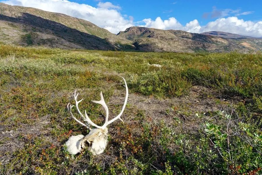
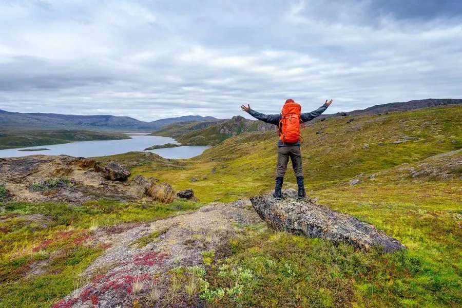
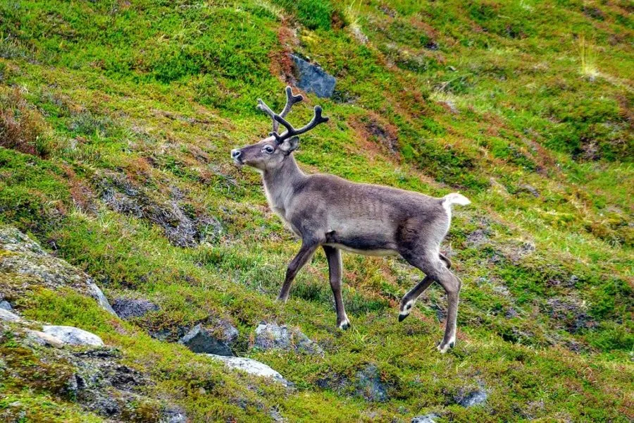
The trail rises up into the rocky mountains again towards Eqalugaarniarfik Hut after the river. I encounter my 6th reindeer along the way and stop for a while to watch her graze.
There’s nothing like a boots off, socks off, lay-in-the-grass break every 1-2 hours to keep you fresh and rested on a long distance trek. It’s been about a week since I’ve had to respond to email, write blog posts, edit photos, or stay active on social media — and I don’t miss it.
While I love my job working as a professional blogger, being online all the time takes its toll. This journey into Greenland’s wilderness on my own with no distractions feels like a proper vacation.
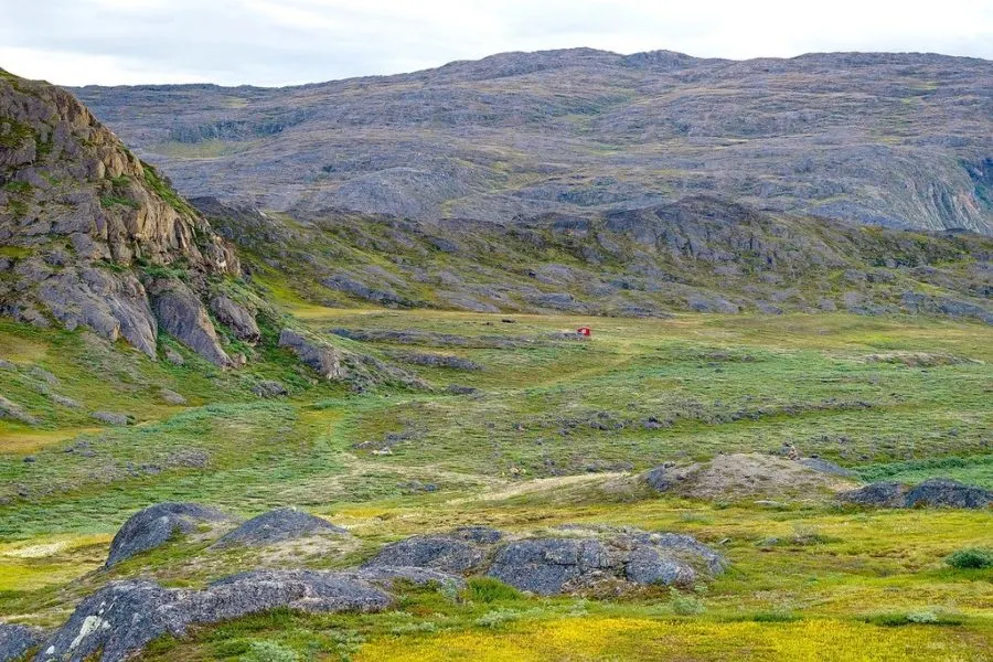
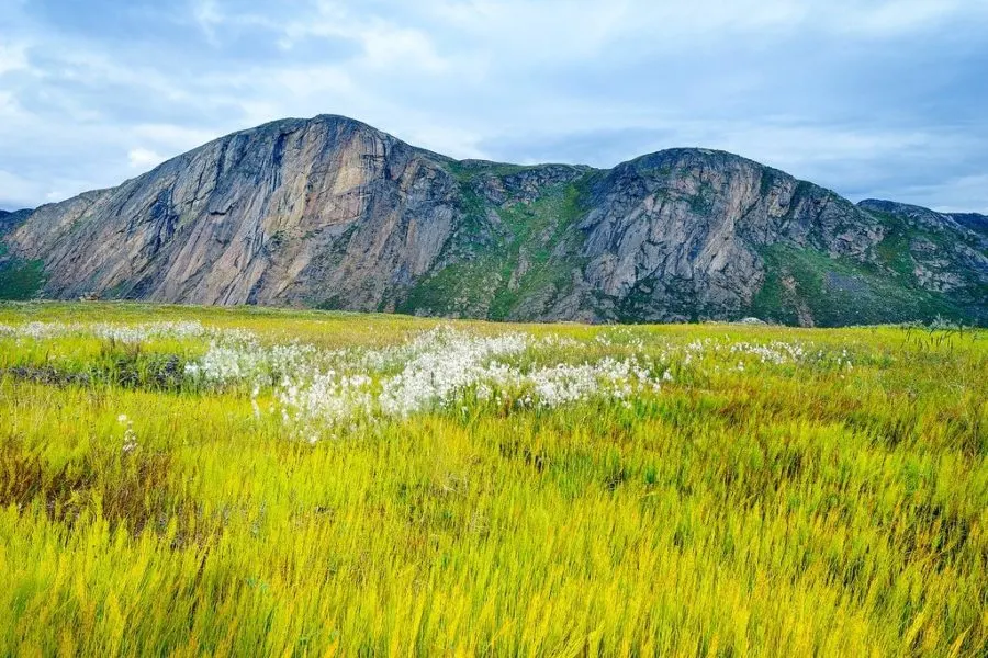
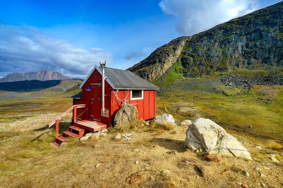
I pass Eqalugaarniarfik Hut and hike uphill on an old snowmobile track lined with white-tipped cotton grass blowing in the wind. Turning to watch the little red building shrink in the distance.
DAY 8: Eqalugaarniarfik to Innajuattoq (and beyond)
Hiking Distance 19 km (12 miles) | 7 hours
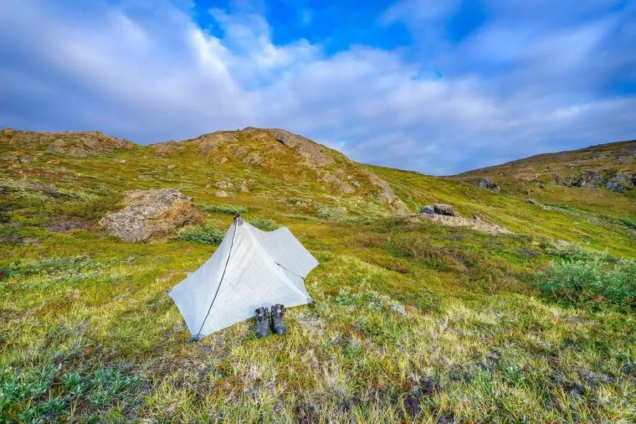
It gets windy but I manage to find a decent camping spot sheltered by hills on all sides. Pitching my Hyperlite Mountain Gear Echo II tent beside a small pond as a pair of snow-white arctic hares watch me from rocks nearby.
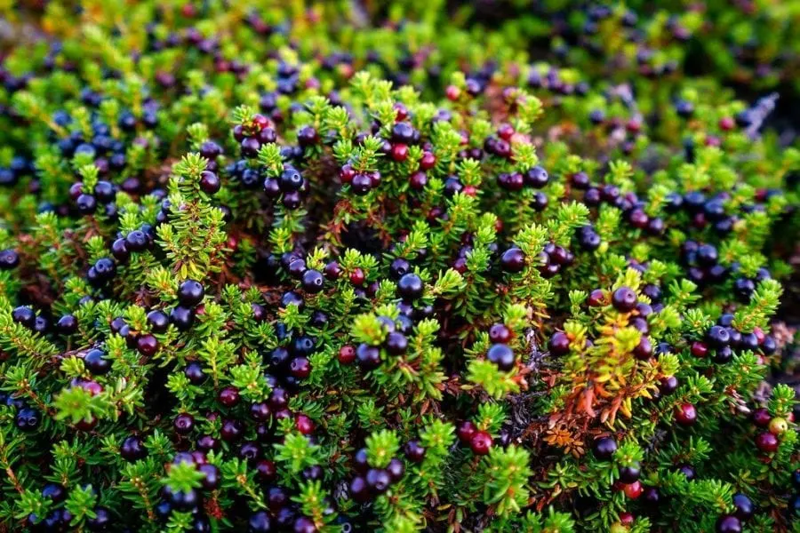
Mosquitos wake me the next morning. I’m packed up and on the trail by 9am after munching on wild berries & mushrooms as a light breakfast.
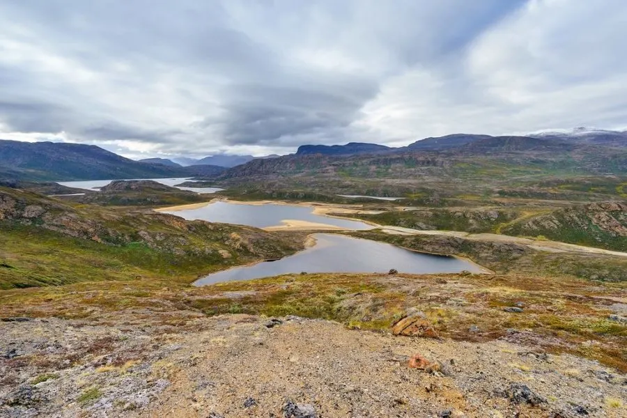
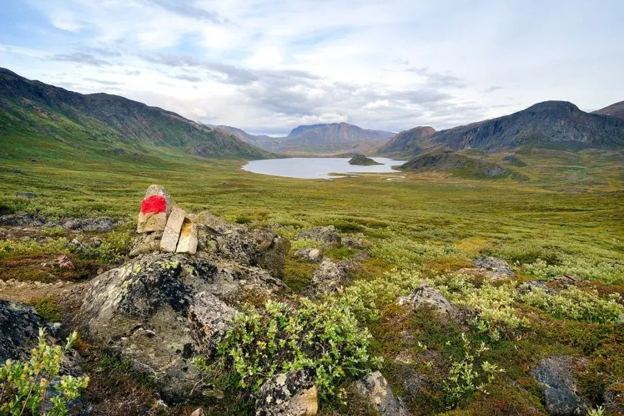
The path continues over a mountainous region dotted with lakes. Patches of permanent snow can be seen on the peaks. Looking at the landscape, you get a sense of how massive glaciers carved this valley long ago.
At the first of the two Innajuattoq huts I stop to take an afternoon nap surrounded by the rugged Taseeqqap Saqqaa mountain range. Walking down to the 2nd, larger hut I discover my Danish friends Fleming & Ellen who’d passed me as I slept.
They show me where to cross the river ahead as it drains from a lake. I hike on while they choose to end their day early at the cabin.
The Reindeer Family
Suddenly I see two reindeer 50 yards to my left. Then three more, including a baby. It’s a whole family! I carefully take off my bright orange backpack, pull out my camera, and crawl on my stomach commando style up a hill to try and capture photos before they spot me.
This is the closest they’ve been, and I get great shots.
Then the wind shifts and one of the males smells me (easy to do after a week with no shower) and sounds the alarm by grunting to the others who quickly run off in all directions.
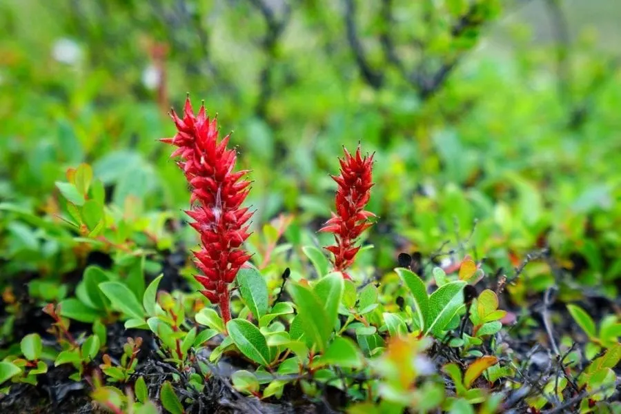
Greenland’s arctic tundra is covered in flowers during the spring & summer. Purple, blue, red, pink, yellow. I’m not sure what the names are — my favorite is a little red one that looks like it belongs in a Dr. Seuss book.
The trail passes through a forest at one point too! Well, what seems like a forest by Greenland’s standards. A grove of dwarf willow trees 6-7 feet high.
Campfire Fail
Grey clouds move in and the wind picks up again. I scramble to locate a good campsite before dark, stumbling upon a flat tent pitch that’s unfortunately exposed to cold wind blowing up from the valley ahead.
Luckily loose rocks surround the area — perfect for building a makeshift wind-break in front of the tent. I attempt to light a fire using fluffy cotton grass & twigs I’d collected earlier, but the wind is too strong.
This is why I love emergency space blankets.
You never know when they’ll come in handy. I always pack a sturdy version for long hikes. Wrapping it around my sleeping bag helps trap heat and protect from the wind sneaking under the lightweight tarp tent.
It’s a long, cold night, but I manage to get some sleep dreaming of the huge, mouth-watering musk ox steak that I’ll devour when I finally reach Sisimiut.
I wake with drool on my face & thick fog hanging over the area. Onward! ★
ARCTIC CIRCLE TRAIL SERIES
PART 1 | PART 2 | PART 3 | PART 4 | PACKING/LOGISTICS
| Travel Planning Resources For Greenland |
|---|
| Packing Guide Check out my travel gear guide to help you start packing for your trip. Book Your Flight Ready to fly? Here’s how I find the cheapest airline flights. Rent A Car Discover Cars is a great site for comparing car prices to find a deal. Cheap Accommodation Learn how I save money booking hotels & vacation apartments. Protect Your Trip Don’t forget travel insurance! Protect yourself from possible injury & theft abroad. Read why you should always carry travel insurance. |
Enjoy This Article? Pin It!
READ NEXT: Complete Travel Gear Guide
Have you ever thought about traveling to Greenland?

